
A homeowner off Settles Bridge Road called us in March 2020, four months after the 2019 Chattahoochee flood event crested the back third of his lot. The wall another contractor had built for him — $38,000, 72 linear feet, 7 feet tall, segmental block with a bullnose cap — had rotated forward about nine inches at the top and was leaking soil out of the second course. He wanted to know if it could be patched. It could not.
This is a case study in what happens when a retaining wall on a Suwanee Chattahoochee-slope lot gets engineered as if it were a standard Gwinnett County subdivision wall. They are not the same problem. The first contractor priced the job as a flat-footprint structural wall — correct dimensions, correct block, correct geogrid spacing for a dry-site application. What he missed was buoyancy. When the floodplain rose, the soil behind the wall turned into saturated hydraulic load, and the wall responded the way physics dictates: it pivoted at the toe, the top walked forward, and the drainage system — buried in a trench that filled with river sediment and clogged within 48 hours — stopped doing the only job that could have saved the assembly.
Our rebuild came in at $68,400 for roughly the same linear footage. The delta wasn’t markup. It was a PE-stamped geotechnical design, FEMA-compliant drainage to daylight outside the flood zone, tighter geogrid intervals, and a reinforced leveling pad rated for submergence. Every line item traced back to one question the original scope never asked: what happens when the Chattahoochee decides this wall is, for a weekend, underwater?
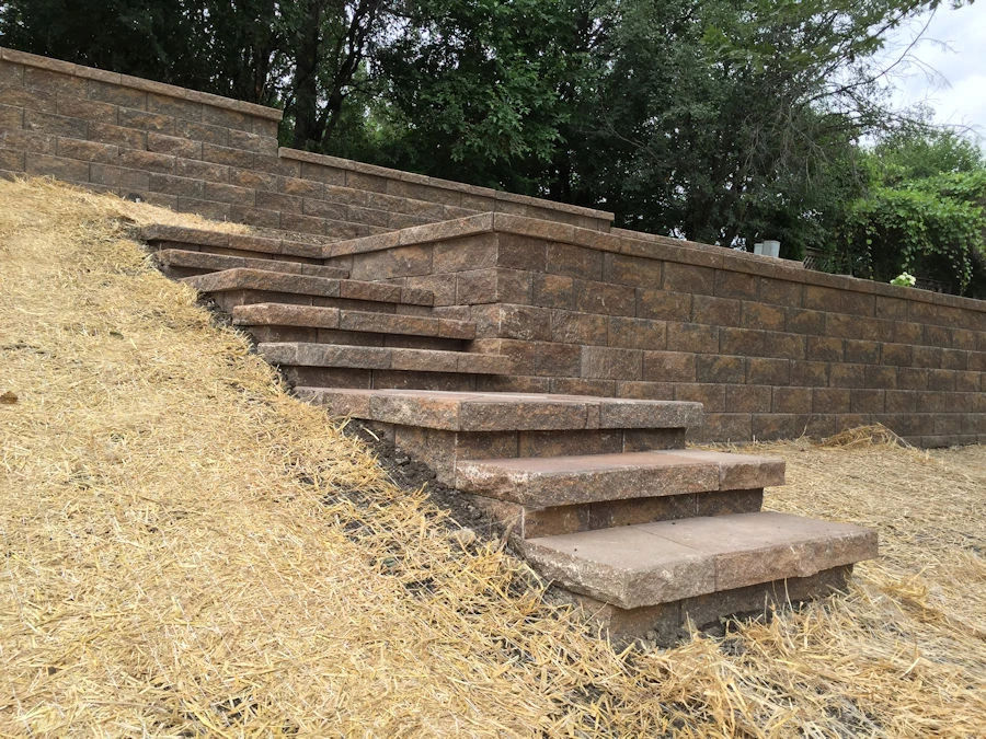
Why Chattahoochee-slope lots break standard wall math
Walk the south and southwest edge of Suwanee — Settles Bridge, the lower sections of the River Club, the Fowler Park corridor — and the topography tells you immediately what you’re dealing with. The Chattahoochee has been cutting through Piedmont bedrock here for about 25 million years, and what it leaves behind is a stepped slope profile: flat ridgeline lots up top, then a shoulder of Cecil-series clay over the first 40 to 80 vertical feet, then a sandy-loam floodplain transition where the river dropped sediment during millennia of seasonal overflow.
A retaining wall built on the ridgeline of a Laurel Springs lot and a retaining wall built on the lower bench of a Settles Bridge lot look identical on a rendering. Structurally they are different species. The ridgeline wall deals with a static earth-pressure problem. The flood-adjacent wall deals with that same static problem plus three others the ridgeline version will never see: saturated soil unit weight (which jumps from roughly 115 pcf dry to 128 pcf saturated), pore water pressure behind the wall face, and — in the worst events — direct hydraulic loading from the river itself.
The failure mode changes accordingly. A ridgeline wall that’s under-engineered will typically develop a slow lean over five to seven years as creep accumulates. A flood-adjacent wall that’s under-engineered can fail catastrophically in 36 hours. The Settles Bridge wall we replaced was three years old.
The number that matters most on a flood-adjacent wall: saturated soil unit weight. Dry Cecil clay is about 115 pcf. Saturated, it’s 128 pcf. Every cubic foot behind an 8-foot wall gets 11% heavier during a flood event. A 60 LF wall suddenly carries roughly 37,000 additional pounds of lateral load. Geogrid spacing and leveling-pad rating have to account for that number — not the dry-weight number your average block-wall calculator spits out.
When a PE stamp stops being optional
Georgia’s residential code lets homeowners and contractors build gravity retaining walls up to 4 feet of exposed height without engineering, as long as there’s no surcharge load above (driveway, pool deck, swimming pool shell, structure foundation). Above 4 feet, or with surcharge at any height, a PE stamp from a Georgia-licensed structural or geotechnical engineer is required, and Gwinnett County’s Department of Planning & Development at 446 W. Crogan St., Lawrenceville will not issue a permit without stamped drawings.
On a flood-adjacent Suwanee lot, I would argue the threshold should be lower — functionally, 3 feet. Not because the code says so, but because the failure cost is asymmetric. A 3-foot wall that fails in a subdivision backyard costs $9,000 to rebuild. A 3-foot wall that fails on the lower slope of a River Club lot, takes part of the slope with it, deposits sediment in the Chattahoochee, and triggers a corps-of-engineers inquiry — that’s a different number, and the homeowner is the one writing it.
For the Settles Bridge rebuild we engaged a Gwinnett-based geotechnical engineer who did two borings: one at the wall face, one 20 feet uphill. The reports came back showing 14 inches of topsoil, then sandy loam to about 4 feet, then Cecil clay with occasional weathered schist from 4 feet down. Groundwater at 6.5 feet. Those four lines drove every downstream decision — leveling pad depth, geogrid length, drainage pipe elevation, and the spec for the washed stone backfill zone.
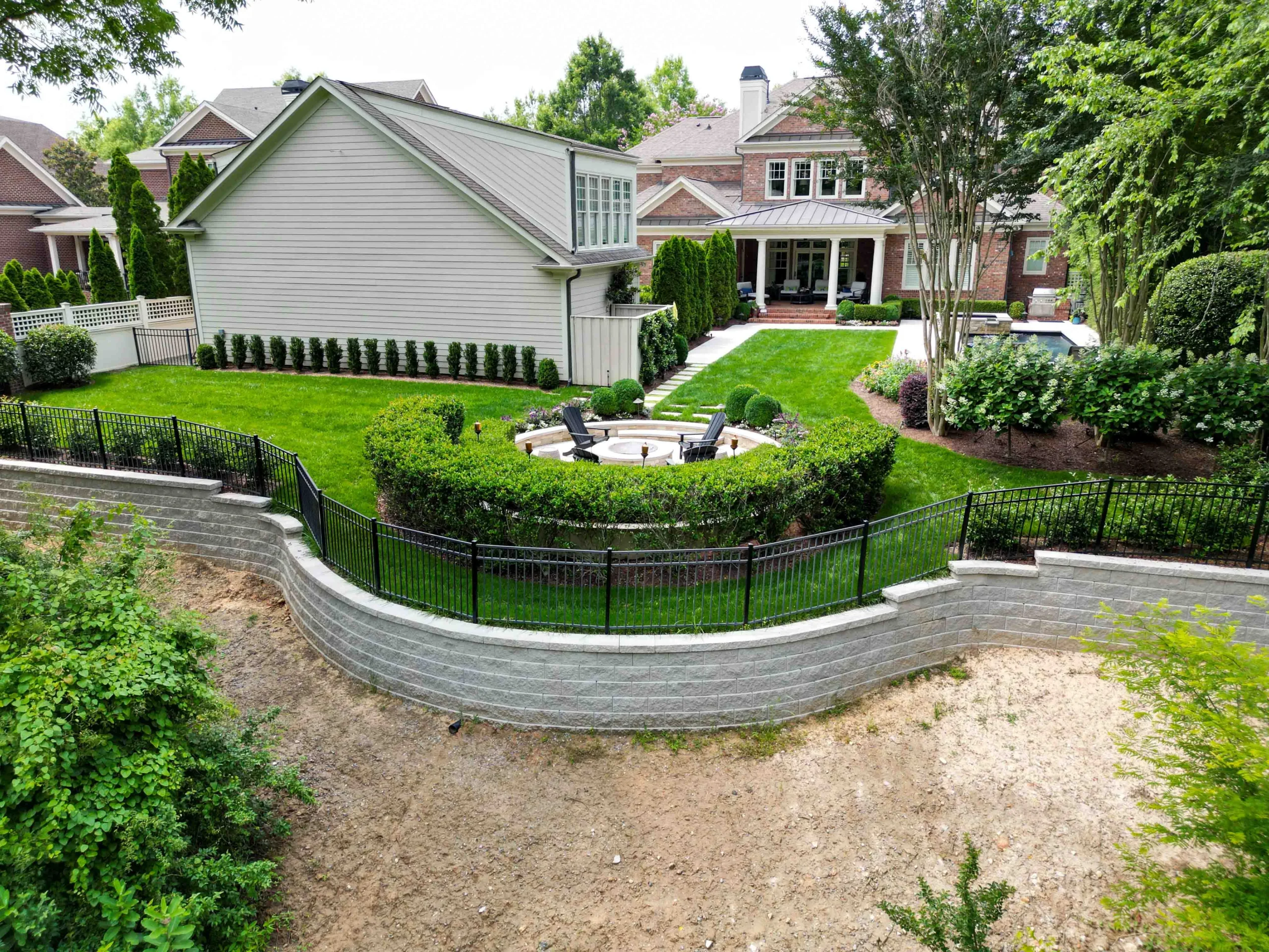
Forensic breakdown of the failure
The original Settles Bridge wall used a reputable block — Allan Block Classic in a charcoal blend, with a compressive strength rating of 3,000 psi. The block itself didn’t fail. Nothing in the block line ever cracked, spalled, or shifted relative to its neighbors. The units behaved as intended. The failure was below and behind them.
Here’s what we pulled out of the ground during demolition, in order of discovery:
- Leveling pad: 6 inches of crushed stone, non-compacted, no geotextile separator. The pad had subsided roughly 2 inches in the central 30 feet, taking the wall with it.
- Geogrid: biaxial polypropylene on 24-inch vertical intervals, extending 4 feet into the backfill. Spec should have been uniaxial (higher tensile in the load direction), on 16-inch intervals, extending 6 feet in. The geogrid was doing maybe 60% of the work it needed to do.
- Drainage pipe: 4-inch perforated corrugated PVC laid directly in native clay backfill with no washed-stone envelope and no filter fabric. The pipe was more than half full of silt and clay fines. Effective drainage capacity at time of demo: near zero.
- Daylight outlet: the drain exited the wall at the low end but dumped into a soft shoulder 8 feet outside the block face — inside the FEMA Zone AE boundary. During the flood, the outlet was submerged. Water couldn’t drain out; it could only flow back in.
- Backfill: site-excavated native clay, compacted in 12-inch lifts. Spec should have been imported #57 washed stone in the first 3 feet behind the wall, transitioning to compacted native in 6-inch lifts beyond that.
Read those five bullets together and the failure story writes itself. The wall’s drainage system was designed for a dry-site problem. The backfill held water instead of shedding it. The saturated soil got heavier than the geogrid was sized to restrain. The leveling pad couldn’t carry the overturning moment once the toe loaded up. The wall rotated.
What the PE-stamped rebuild specifies
Our engineered drawings for the replacement wall ran to 11 sheets. The full scope isn’t worth reproducing here, but the spec points that separate a flood-adjacent wall from a standard wall are worth calling out because they’re the line items that drove the cost delta — and they’re the line items most contractors will omit if they’re quoting against a cheaper bid.
Reinforced leveling pad
12 inches of #57 washed stone over a non-woven geotextile separator, compacted to 95% standard Proctor density in two 6-inch lifts. Total pad width 36 inches (wall width plus 12 inches each side). The geotextile matters because the separator prevents fines from migrating up into the stone and turning it back into soil over five or ten years.
Tighter geogrid intervals
Uniaxial polyester geogrid (Mirafi-spec equivalent), 16-inch vertical intervals instead of the 24 inches the failed wall used, extending 6 feet back from the wall face — which exceeded the “minimum 70% of wall height” rule the engineer specified by about a foot on the tallest sections. Every geogrid layer was mechanically keyed between block courses and pull-tested during install on a random 10% sample.
Drainage to daylight outside the flood zone
4-inch SDR-35 solid PVC (not perforated, not corrugated) in a washed-stone envelope 18 inches wide behind the wall, wrapped in non-woven filter fabric, graded at 1% toward the low end, and — critically — daylighting 14 feet outside the FEMA Zone AE boundary into a rip-rap splash pad. The solid pipe eliminates any chance of the drain becoming a bidirectional flow path during a flood event. If the river crests, the outlet submerges, but no river water gets pushed back into the wall system because there are no perforations.
Backfill specification
First 3 feet behind wall face: clean #57 washed stone, no fines. Next 3 feet: transition zone of crushed-run ABC base compacted in 6-inch lifts. Beyond 6 feet: site-excavated clay acceptable, compacted in 8-inch lifts to 90% standard Proctor. This gradient lets water move freely in the zone adjacent to the wall and out through the drainage pipe — instead of pooling in the tight native clay that sits everywhere else on a Cecil-series Piedmont site.
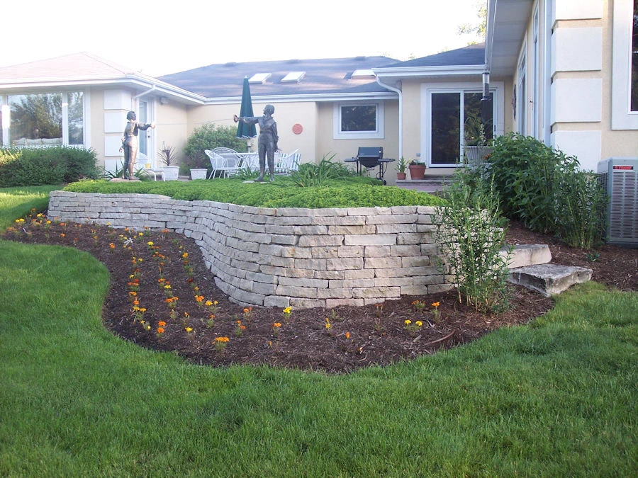
FEMA elevation, flood zones, and what they actually cost you
FEMA Flood Insurance Rate Maps for the Chattahoochee reach through Suwanee designate three zones relevant to wall design: Zone X (minimal flood hazard), Zone AE (1% annual chance flood, base flood elevations determined), and Zone AE floodway (the channel reserved for moving flood water — no permanent structures allowed at all).
Portions of Settles Bridge and the lower benches of a handful of River Club lots sit in Zone AE. That designation drives three things on a wall project:
- Drainage outlet location. The daylight point has to clear the AE boundary by a working margin — we use 10 feet minimum. Otherwise your drain becomes a seasonal liability instead of an asset.
- Fill and excavation rules. Gwinnett County and FEMA both restrict how much soil you can add to or remove from a Zone AE property. Significant fill requires a Letter of Map Revision (LOMR), which is a 90–180 day process.
- Insurance posture. A wall built in or near Zone AE that fails can create property owner liability if the failure deposits debris into the floodway. The PE stamp and permitted build protect against that.
None of this is a reason to avoid building on a Chattahoochee-slope lot. These are some of the most valuable properties in Gwinnett County, and the view line over the river basin is worth the engineering complexity. It’s a reason to hire a contractor who has read a Flood Insurance Rate Map before, and to insist that the scope of work reference zones and elevations instead of just linear feet and block courses.
How to check your own flood zone before you sign a wall contract: Go to msc.fema.gov, enter the Suwanee property address, and pull the FIRMette for the parcel. If any part of your wall sits inside or within 20 feet of a Zone AE boundary, the contractor’s scope should explicitly address it. If they ask you “what’s a FIRMette,” keep shopping.
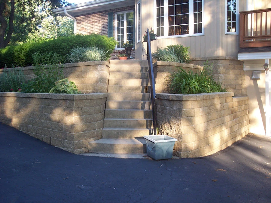
The $42K to $72K reality for 60 LF of engineered wall
The line-item question most Suwanee homeowners ask us early in the conversation: what does a real engineered wall cost on a Chattahoochee-slope lot? Here’s the honest range for 60 linear feet at 8 feet of exposed height — the most common spec we see on Settles Bridge and lower River Club projects:
- Permits, engineering, borings: $4,800–$7,200 (PE stamp, two borings, stamped drawings, Gwinnett County permit, LOMR review if needed)
- Excavation and site prep: $3,500–$6,000 (depending on access; Peachtree Industrial Blvd equipment routing is usually straightforward)
- Reinforced leveling pad: $2,200–$3,400
- Block, cap, and installation labor: $18,000–$28,000 (depending on block selection — Allan Block Classic, Techo-Bloc Mini-Creta, or Versa-Lok are the three common specs)
- Geogrid (uniaxial, 16-inch intervals): $2,400–$3,800
- Drainage system (solid SDR-35 with washed-stone envelope + rip-rap outlet): $3,800–$6,200
- Backfill and compaction: $4,200–$7,400 (imported #57 stone is not cheap, and the transition zone uses crushed-run ABC)
- Cap and finish: $2,600–$4,800
- Erosion control and restoration: $1,800–$3,200
Add those and you land between $42,000 and $72,000. Walls priced under that range for this application are either skipping line items or using undersized specs. A wall priced over that range usually has unusual access conditions, specialty block selections, or integrated features (column piers with lanterns, iron fence on top, stair access) that change the scope.
The Settles Bridge rebuild landed at $68,400 because the original failed wall had to be fully demolished and disposed of — that’s a cost line that doesn’t exist on a new-build wall — and because the leveling pad excavation had to go deeper to reach undisturbed soil below the disturbed zone the original contractor left behind.
What to ask before you sign a wall contract on a flood-adjacent Suwanee lot
If you own a lot in Settles Bridge, the River Club, Fowler Park, or any of the Chattahoochee-adjacent pockets along Suwanee’s southwest border, the contractor you hire for a retaining wall is either going to build you a 30-year asset or a 3-year liability. The conversation that separates those two outcomes usually happens in the first estimate meeting, and it’s driven by what questions get asked, not what promises get made.
Here’s the shortlist we recommend Suwanee homeowners take into any wall consultation. If the contractor can’t answer these in specific terms — with numbers, zone references, and product specs — the quote is not actually comparable to one from a contractor who can.
Flood zone and FEMA compliance
- “Have you pulled a FIRMette for this property?” (Correct answer: yes, before the estimate.)
- “What FEMA zone is the wall footprint in, and how far from any Zone AE boundary?”
- “Does the drainage outlet clear the flood zone, and by how much?”
Structural design
- “Who stamps the drawings, and can I see a sample from a previous Suwanee project?”
- “What’s the saturated unit weight assumption in the geogrid calculation?”
- “What geogrid spacing and length at the tallest section? Uniaxial or biaxial?”
Drainage specifics
- “Solid pipe or perforated, and why for my site?”
- “Washed-stone envelope width and filter fabric spec?”
- “Where does the drain daylight, and what’s the flood-elevation clearance?”
Permit and inspection path
- “Who pulls the permit at 446 W. Crogan?”
- “What inspections are required — footing, geogrid, drainage, final?”
- “If my lot is in Laurel Springs, who handles the HOA architectural review submission?” (The Laurel Springs ARB typically runs a 3–4 week turnaround and wants stamped drawings in the submission — not the contractor’s rendering.)
Answers to those 12 questions, in specific numeric and zone-referenced language, tell you everything you need to know about whether the contractor in front of you has built flood-adjacent walls before — or whether you’re about to pay for their education on your lot.
The wall we rebuilt in 2020 is now in its fifth year. It has seen two minor flood crest events since, both of which submerged the drainage outlet for 18–36 hours, and both of which left the wall face, the cap, and every geogrid layer exactly where they were installed. That is the bar. That is what a flood-adjacent Suwanee wall looks like when the scope is written around the river instead of around the block.
Engineered retaining walls across 20+ cities within 30 miles of Winder, GA
If your Suwanee lot touches the Chattahoochee floodplain — or your wall scope crosses four feet of exposed height — we build to PE-stamped, FEMA-compliant specs from the leveling pad up. No assumptions, no shortcuts on drainage.